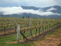
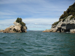
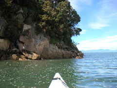
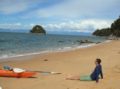
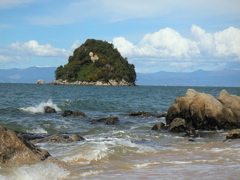
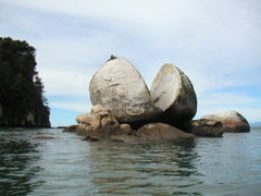
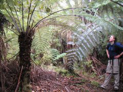
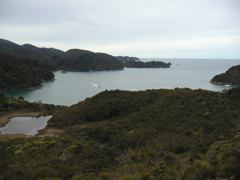
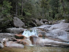
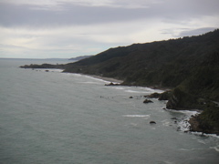
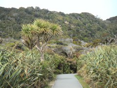
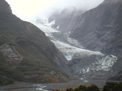
around the South Island
October 16 - 19, '04

(click on the first picture to get started; captions are at the bottom of each picture page)

We started our circum-south-island tour by driving up the east coast towards Nelson.  On the way there we found a rainbow! There are lots of vinyards in New Zealand, and this one looked particularly photogenic.
After staying in Nelson for the night, we drove to Able Tasman, a big national park in the northwest corner of the South Island and rented kayaks for a few hours.  Wow... It was a great place to kayak because we got to check out all these cool limestone rock formations.  There was even a little archway that we paddled through, but I seem to have gotten no pictures of that.
Here I am exploring the peaceful waters behind a mini island.  The seagulls had very orange beaks. Chillin on the beach... ahhhh.  They tell us the beach's golden color comes from traces of iron.
Another view of the funkylicious mini island. Showing people this picture, I've heard many different interpretations, but the "official" name is Split Apple Rock.  Pretty cool eh?
We camped near Able Tasman and the next morning set off hiking.  Here is Tenley next to a huuuuge tree fern! The trail mostly stayed a ways above the beach, so we got several vantage points like this one.
We hiked all the way to Anchorage Bay, which is just over the foreground hill. Since we had gone so far already, we decided to take a short side hike out to "Cleopatra's Pool".  It was mildly anticlimactic, but still pretty.  But it was a loooong hike back - we finally arrived at the campground about 8pm to finish our 10-hour hike.
First glimpses of the South Island's West Coast A premier tourest destination was the Pancake Rocks seen here.  Apparently some sort of anomaly in the formation of these limestone rocks undersea caused them to be softer/harder in layers so that when weathered by wind and waves they start to look like pancakes.
Pancake towers framed by the ocean In the same area were pretty cool "blowholes" where waves would come in and get stuck under the limestone overhangs, causing them to explode outwards with a boom.
Two cool NZ plants: flax on the sides of the path, and taller on the left, my favorite, a cabbage tree :) Driving south down the country we crossed several huge river deltas like this one.
Near the end of the day we stopped at Frans Josef glacier.  It is hard to tell the scale, but this thing is massive.  And two hundred years ago, the glacier actually reached all the way to where this picture was taken.  As you can guess, it has retreated most years since then due to global warming.